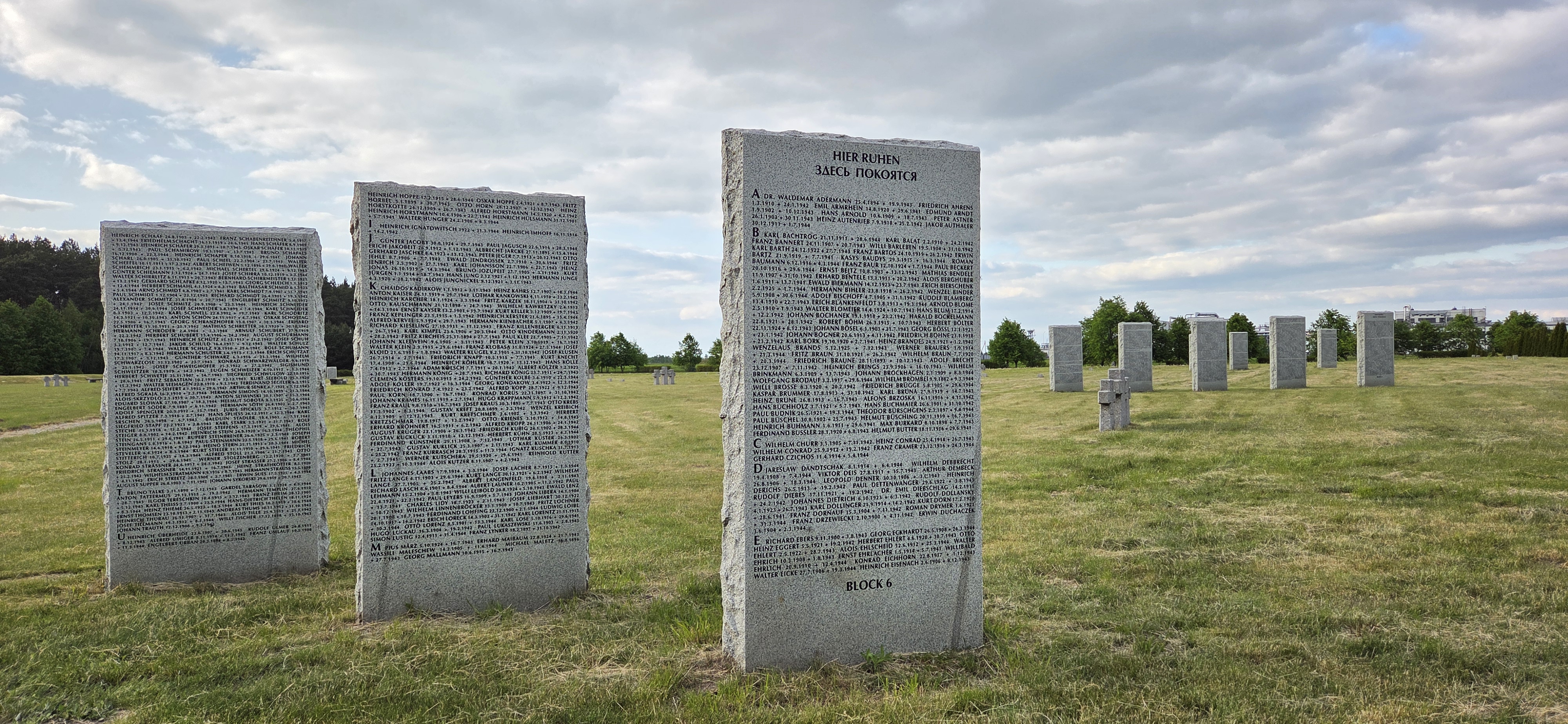
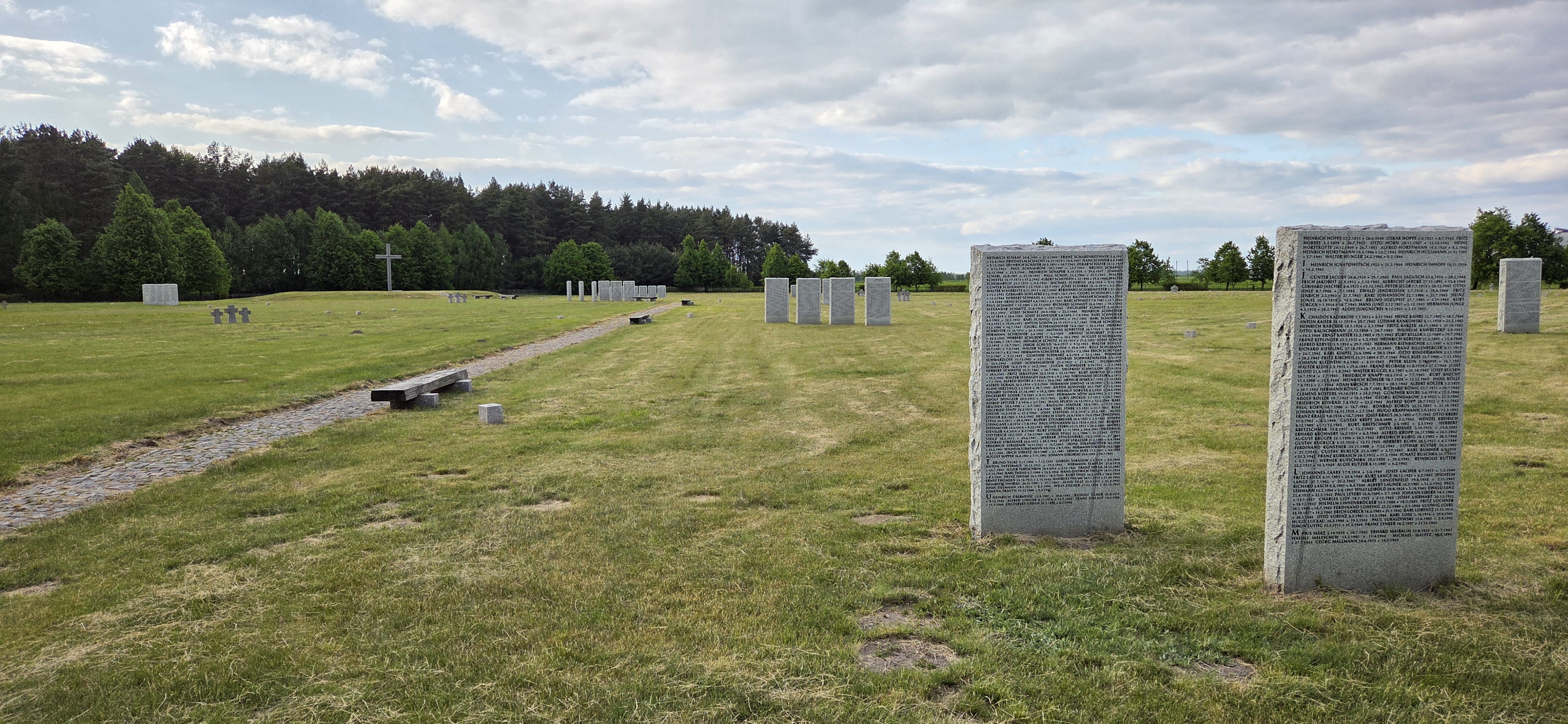

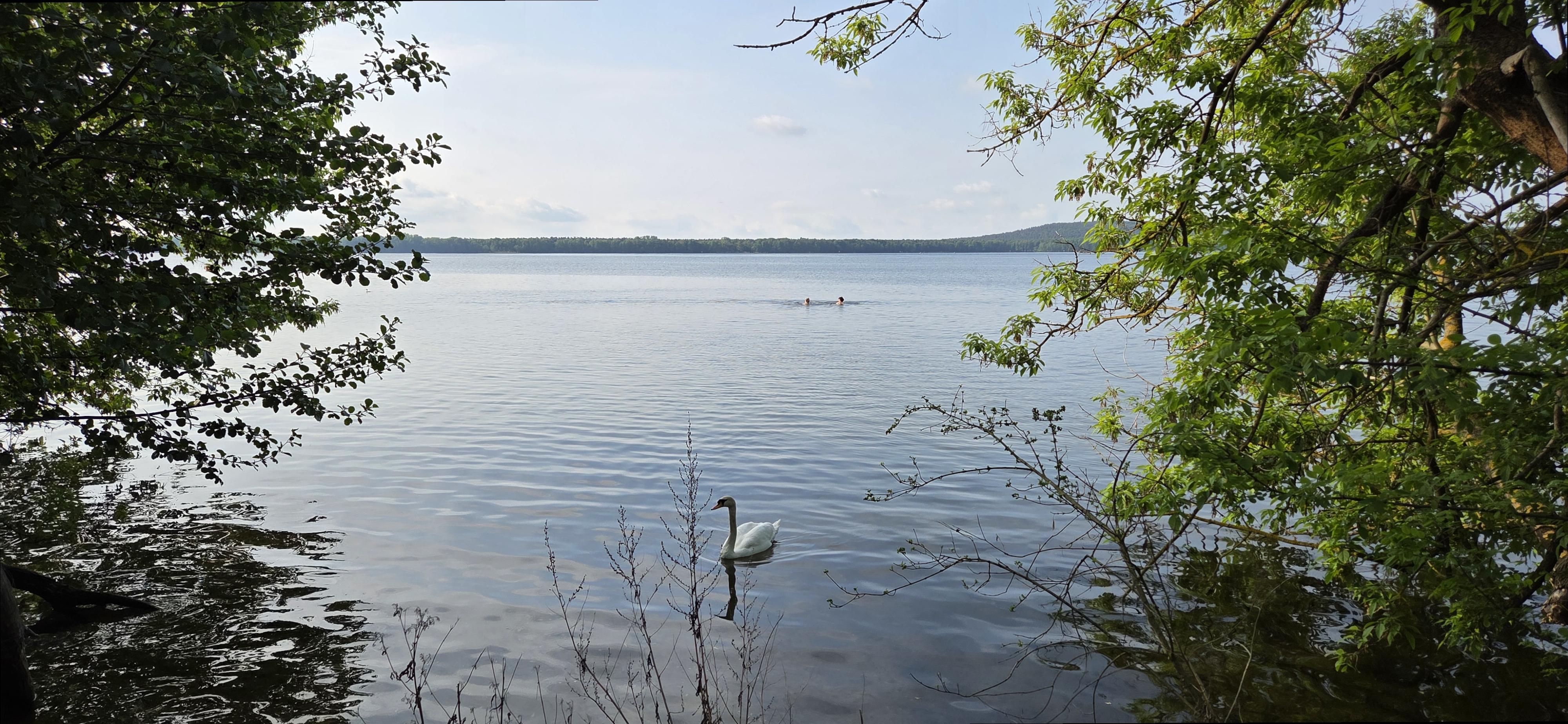
Map of the route “Rahnsdorf, Müggelsee, Dämeritzsee, Flakensee”: 28.90 km, 1,403 m of climbing and 1,402 m of descent, elevation between 55 m and 108 m, time 06:16:30. It is a loop that starts and ends at 52.45174, 13.69146 (latitude, longitude).
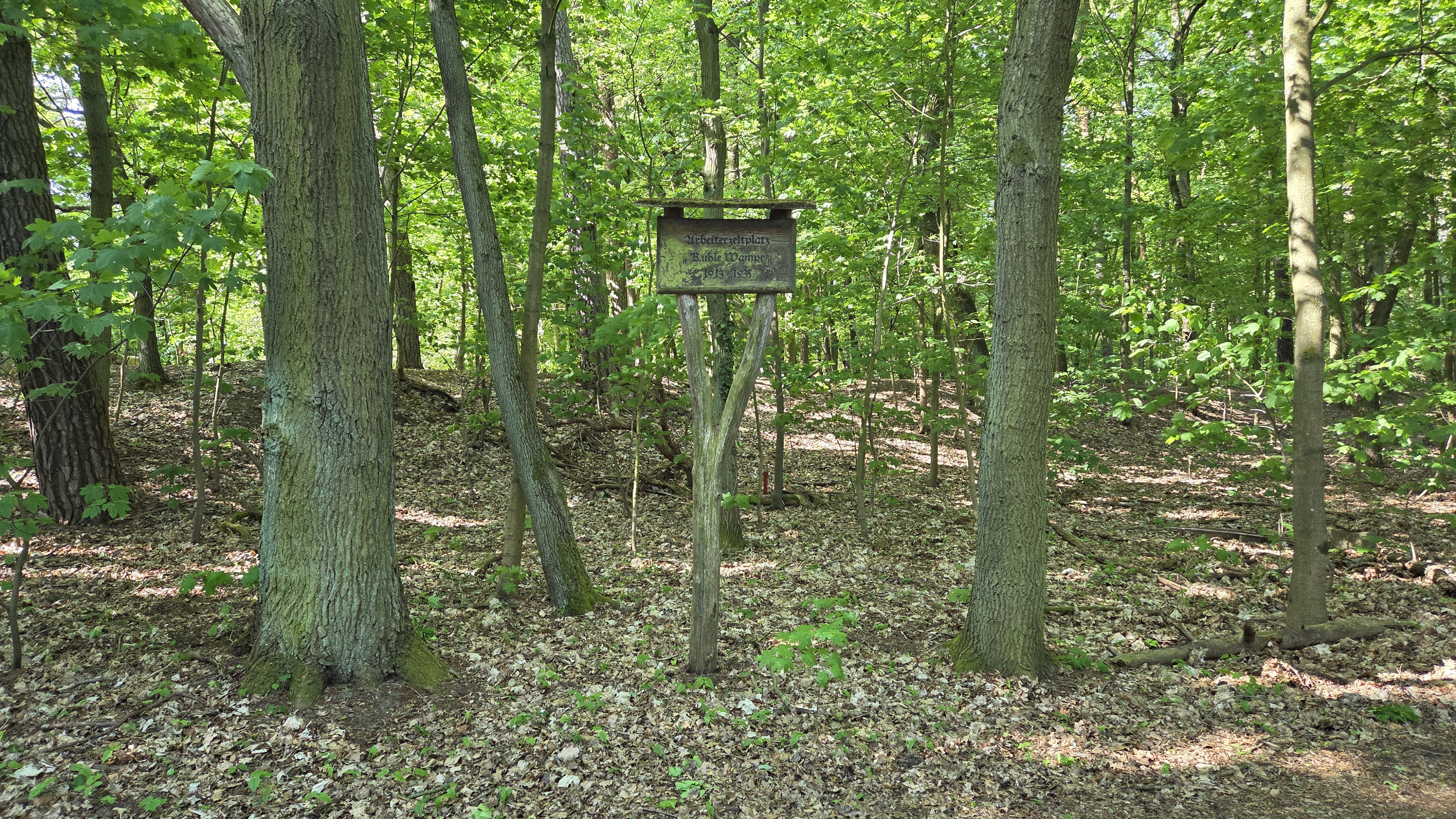
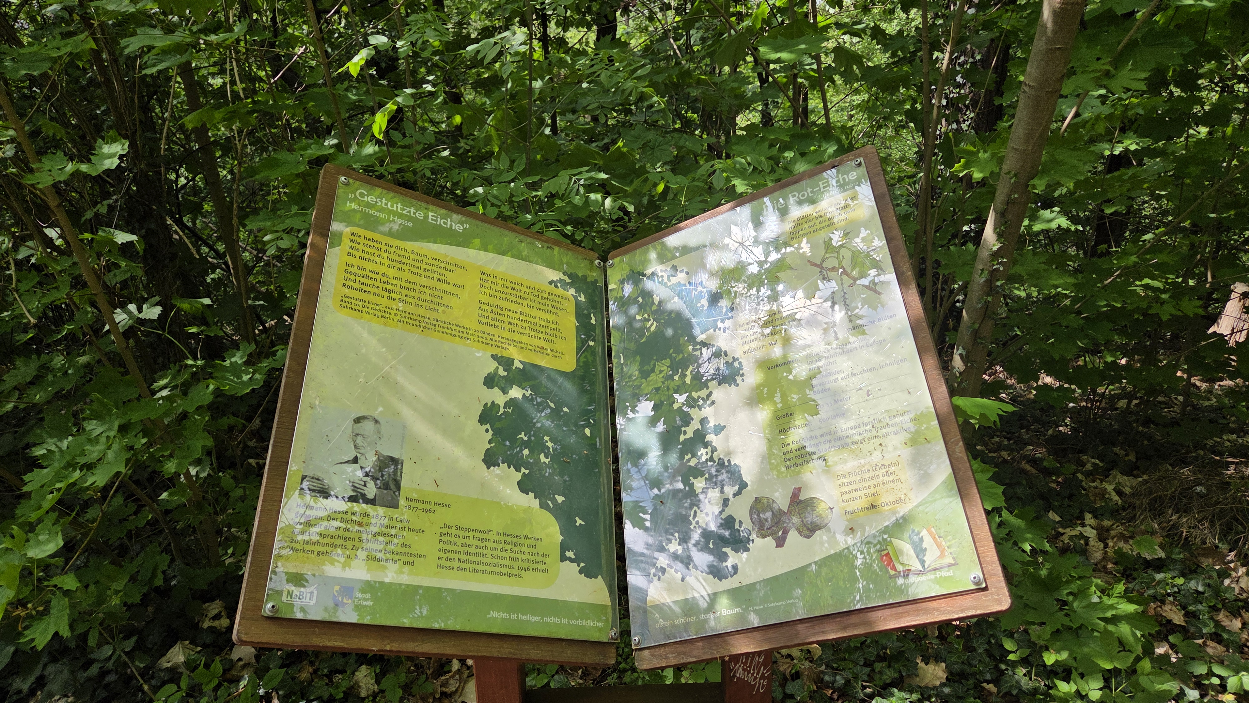
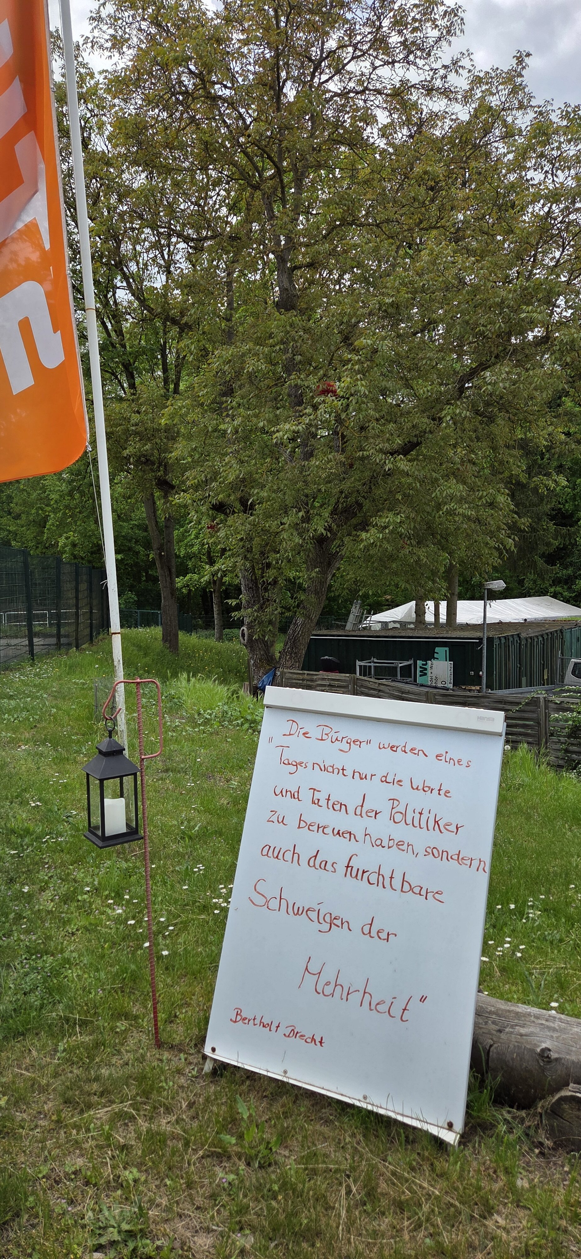
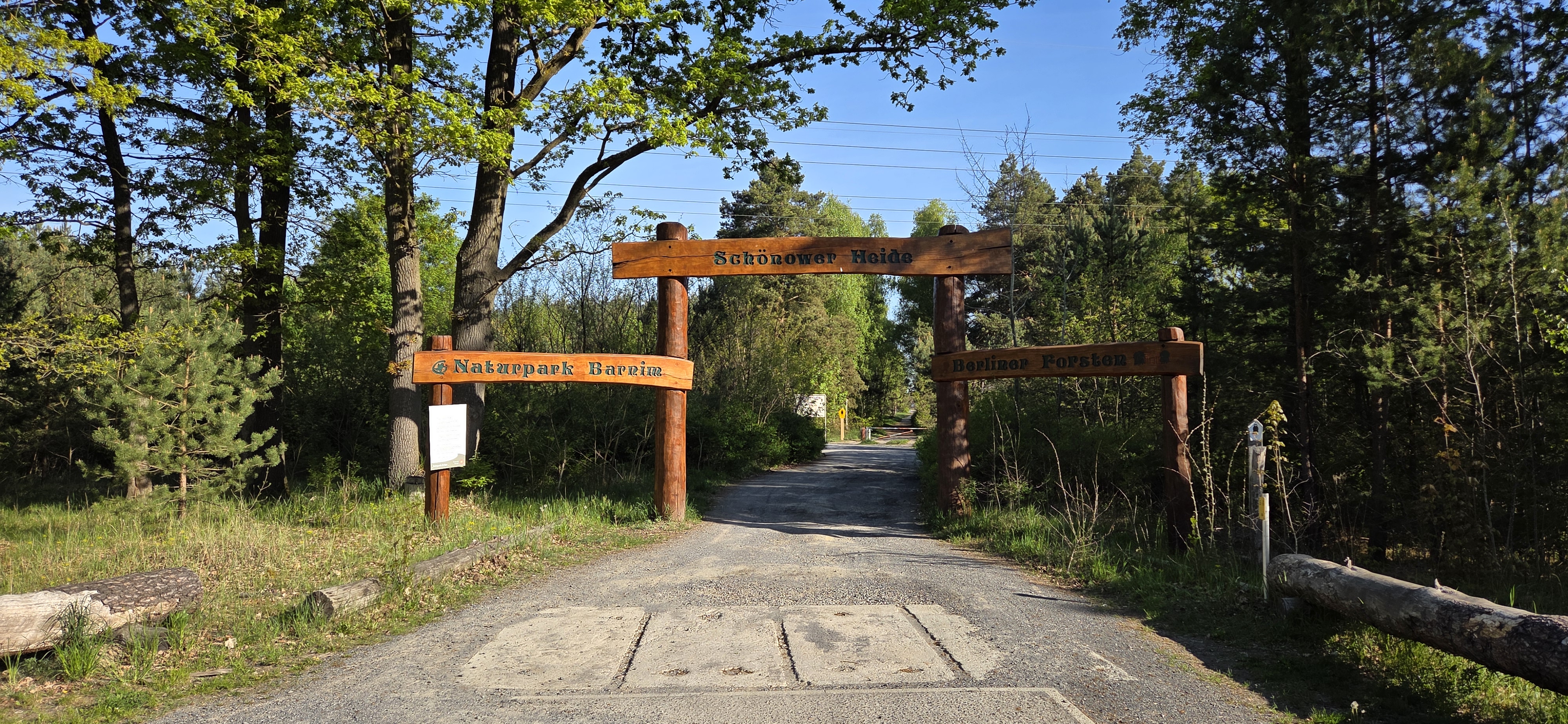
Map of the route “Schönower Heide Runde”: 20.03 km, 869 m of climbing and 871 m of descent, elevation between 79 m and 123 m, time 04:09:44. It is a loop that starts and ends at 52.66001, 13.53260 (latitude, longitude).
The man in the cassock takes five steps along the road and stops.
“I’ve forgotten to put a kopeck for the burying,” he says. “Good orthodox friends, can I give you the money?”
“You ought to know best, you go the round of the monasteries. If he died a natural death it would go for the good of his soul; if it’s a suicide it’s a sin.”
—Anton Chekhov, “A Dead Body”, Ward No. 6 and Other Stories, (New York: Barnes & Noble, 2003), 26.
Map of the route “Landschaftspark Wartenberger Feldmark – Am Berl”: 10.46 km, 432 m of climbing and 430 m of descent, elevation between 80 m and 119 m, time 02:22:10. It is a loop that starts and ends at 52.57376, 13.50463 (latitude, longitude).